
Dominican Sisters of Peace
St. Catharine Farm | St. Catherine, KY
Land-history research for The St. Catharine Farm, 2646 Bardstown Road, St. Catharine, KY 40061
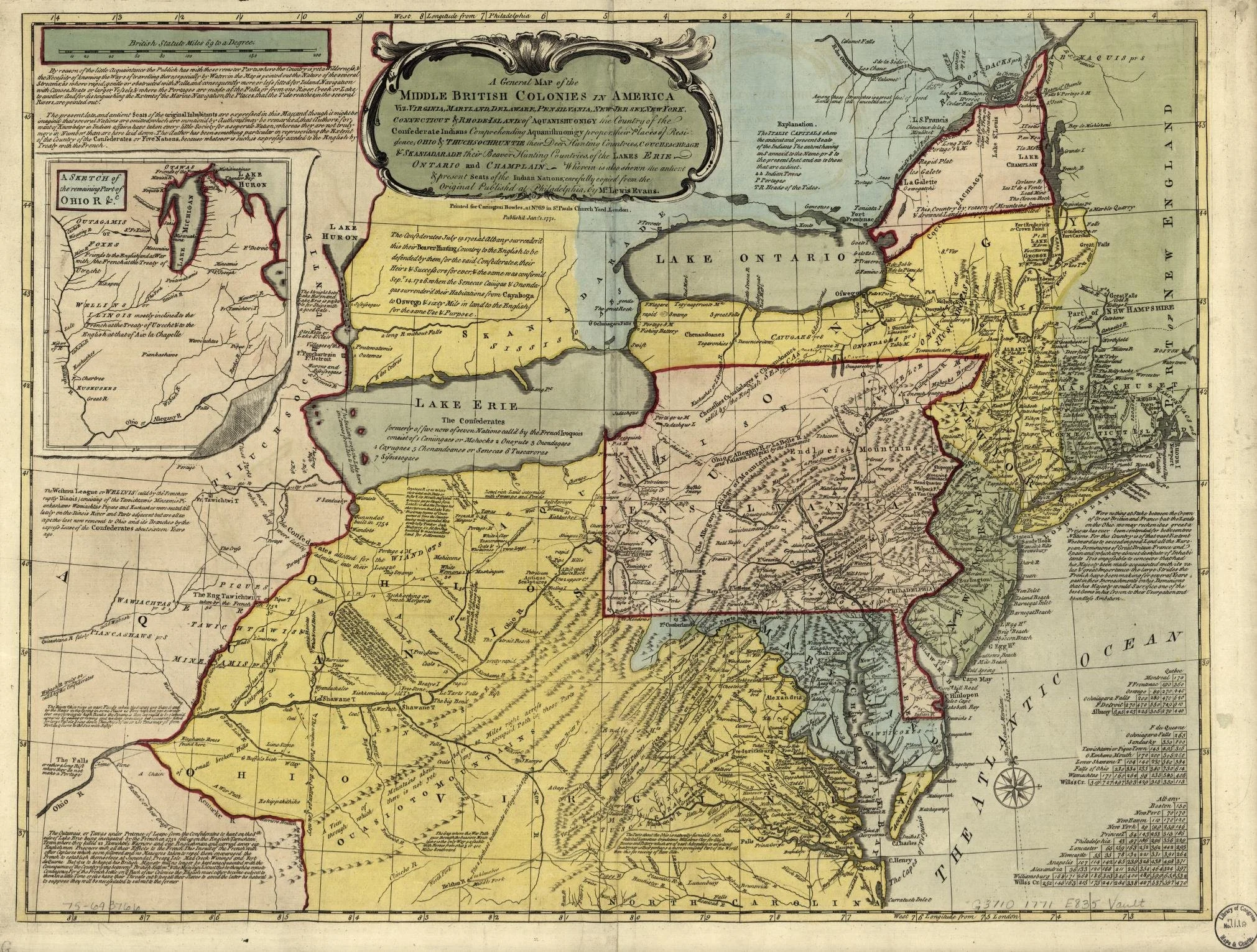
“A general map of the Middle British Colonies in America,” by Lewis Evans (1771)
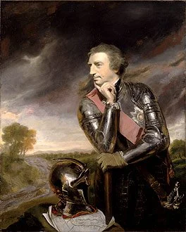
Portrait of Lord Jeffrey Amherst by Joshua Reynolds (1765)
Extirpate.
"You will Do well to try to Innoculate [sic] the Indians by means of [smallpox infected] Blankets, as well as to try Every other method that can serve to Extirpate this Execrable Race. I should be very glad your Scheme for Hunting them Down by Dogs could take Effect, but England is at too great a Distance to think of that at present."
Correspondence from Lord Jeffery Amherst, Commander-in-Chief of the British Army to Colonel Henry Bouquet (1763)
Settler Colonialization
The Treaty Period

“Pontiac in Council of 1763,” by Alfred Bobbett (1877)
Death.
“It is important, my brothers, that we should exterminate from our land this nation, whose only object is our death.”
Pontiac (Odawa leader) to assembled tribes (April 27, 1763)
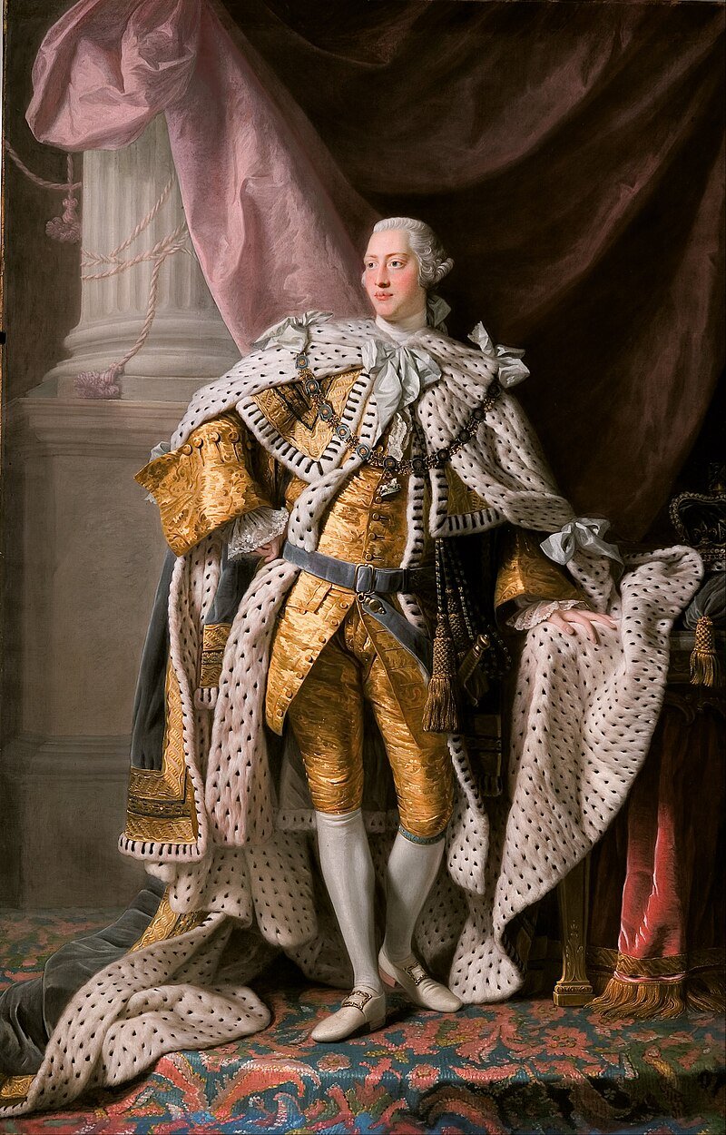
Coronation Portrait of King George III by Allan Ramsay (1765)
Irregularities.
“And whereas great Frauds and Abuses have been committed in purchasing Lands of the Indians, to the great Prejudice of our Interests. and to the great Dissatisfaction of the said Indians: In order, therefore, to prevent such Irregularities for the future, and . . . to remove all reasonable Cause of Discontent, We do with the Advice of our Privy Council strictly enjoin and require. that no private Person do presume to make any purchase from the said Indians of any Lands reserved to the said Indians.”
By the King. A Proclamation. (Oct. 7, 1763)

Current Law
Becomes Property

“A map of the State of Kentucky: from actual survey; also part of Indiana and Illinois” by Luke Munsell and Hugh Anderson (1818)